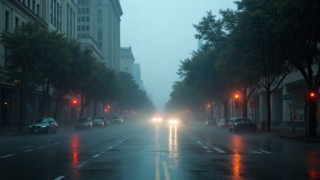
San Francisco faced an unprecedented deluge today as a powerful storm system dumped a staggering 2.28 inches of rain by mid-afternoon, officially shattering the long-standing rainfall record of 2.24 inches set back in 1918. The historic rainfall, coupled with ferocious, sustained winds, has effectively paralyzed the Bay Area, triggering widespread urban flooding, forcing significant power outages across thousands of residential and commercial properties, and compelling urgent evacuation orders for vulnerable residents in Monterey and several surrounding counties. As emergency teams scramble to manage the chaos, the region is grappling with the immediate fallout of a weather event that has tested the limits of aging infrastructure and exposed the vulnerabilities of the coastal metropolitan landscape.
Key Highlights
- Record-Breaking Precipitation: San Francisco officially recorded 2.28 inches of rain by mid-afternoon, eclipsing the previous single-day record of 2.24 inches established over a century ago in 1918.
- Widespread Infrastructure Stress: Extensive power outages were reported throughout the region, with utility crews struggling to reach downed lines amidst hazardous travel conditions.
- Emergency & Evacuation Orders: Local authorities issued urgent evacuation warnings for parts of Monterey County and high-risk zones across the Bay Area due to imminent flooding and mudslide threats.
- Meteorological Impact: The storm, driven by a potent atmospheric river, generated significant wind gusts that exacerbated the risk of structural damage and downed trees across the metro area.
Breaking the 106-Year Rainfall Record: A Meteorological Overview
The sheer volume of water deposited on San Francisco by this storm system places it in a historical context that meteorologists rarely see. For over a century, the 1918 rainfall record has stood as a benchmark for severe winter weather in Northern California. To surpass this mark by mid-afternoon on a single day indicates the extreme intensity of the current atmospheric river event. Unlike typical seasonal rain, this storm system exhibited a persistent, narrow corridor of concentrated moisture—a hallmark of atmospheric river events—which trained directly over the San Francisco Peninsula. This phenomenon focuses high-intensity rainfall over specific geographic areas rather than distributing it, leading to rapid saturation of the soil and overwhelming urban drainage systems.
Data from the National Weather Service (NWS) indicates that the rapid accumulation rate caught many local flood-mitigation systems off guard. When the ground reaches saturation point within hours, the risk of flash flooding increases exponentially, particularly in lower-lying neighborhoods and areas near natural drainage channels that were not engineered for such rapid volume spikes. The NWS had issued multiple flood watches and warnings leading up to the peak of the storm, but the intensity exceeded even the upper-bound forecasts, cementing this event as a defining moment in recent Bay Area weather history.
Infrastructure Paralyzed: The Power and Transit Impact
The cascading effects of this storm have been felt most acutely in the energy and transportation sectors. Pacific Gas and Electric (PG&E) reported thousands of customers without power as high wind gusts—some exceeding 50 mph in exposed coastal areas—toppled trees and brought power lines down onto public roadways. These outages represent more than just a temporary inconvenience; they trigger a complex ripple effect through the regional economy. When critical signal infrastructure and transit systems fail, the entire Bay Area mobility ecosystem grinds to a halt.
Commuter transit, already struggling with the volume of rain, faced further complications as debris-clogged roads and flooded intersections forced the closure of multiple primary arterial routes. For the commercial sector, the loss of power halted business operations, creating a domino effect on the supply chain and local retail, which were already operating under the assumption of a stormy but manageable day. Crews have been mobilized, but their ability to restore service is hampered by the storm’s ongoing nature, with current safety protocols preventing bucket trucks and utility workers from performing high-altitude repairs until wind speeds drop below safety thresholds.
Emergency Management and Regional Safety Protocols
Beyond the city of San Francisco, the impact in Monterey County and the surrounding regions has been severe, necessitating a coordinated emergency response. Local government agencies, working alongside the San Francisco Department of Emergency Management, have been forced to prioritize life-safety operations over property protection. Evacuation orders in Monterey were prompted not just by direct rainfall, but by the elevated risk of debris flows in areas previously scorched by wildfires—a compounded disaster scenario that is becoming increasingly common in the state.
These evacuations are managed through a multi-tiered communication strategy, utilizing wireless emergency alerts and door-to-door notifications in the most critical zones. The coordination between municipal police, fire departments, and the California Office of Emergency Services (Cal OES) is designed to ensure that those who are most vulnerable—particularly residents in mobile home parks and those living near designated floodplains—are relocated before transit routes become impassable. The current situation remains fluid, as meteorologists warn that even after the initial pulse of heavy rain subsides, the ground saturation levels mean that risks of slope failure and downstream flooding will persist for at least 48 to 72 hours.
The Broader Context: Climate Resilience and Future Planning
This event offers a stark, concrete data point for the ongoing conversation regarding climate resilience in the Bay Area. While one storm, even a record-breaking one, cannot be solely attributed to long-term climatic shifts, the frequency of such extreme precipitation events is a major focus for civil engineers and urban planners. The 1918 record survived for 106 years; the fact that it has been broken today raises critical questions about whether the regional infrastructure, designed decades ago, is sufficient for the climate reality of the 21st century.
Secondary angles on this disaster reveal the economic fragility of a tech-centric, high-cost-of-living region when confronted with basic physical infrastructure failures. The cost of this event—measured in emergency response expenditures, lost productivity, structural repairs, and insurance claims—will be significant. Moving forward, the focus will likely shift toward ‘hardened’ infrastructure: burying more power lines, upgrading storm drains to accommodate higher-intensity flows, and improving the granularity of early-warning systems. As the Bay Area cleans up from the immediate damage, the discourse will inevitably turn toward whether the current, reactive approach to storm management is sustainable, or if a more proactive, systemic overhaul of city infrastructure is required to prevent the next 100-year storm from becoming a recurring crisis.
FAQ: People Also Ask
How does this rain total compare to historical averages?
This event is statistically significant because it broke a record that has stood since 1918. While San Francisco frequently sees heavy winter rain, reaching 2.28 inches in such a compressed timeframe is rare and indicates the extreme nature of this specific atmospheric river.
Why are power outages so widespread?
Outages are primarily caused by high wind gusts knocking trees and large branches onto distribution lines. Furthermore, the saturated soil makes trees less stable, leading to a higher rate of failure even during moderate wind speeds.
What should residents do during the evacuation warnings?
Residents in affected zones should pack essential items, including medications and important documents, and prepare to leave immediately if ordered. Follow guidance from local emergency management agencies via official social media channels and local news.
Is this related to climate change?
While individual storms are distinct weather events, climate scientists generally agree that the warming atmosphere holds more moisture, which can lead to more intense precipitation events and higher volumes of rainfall during atmospheric rivers.