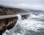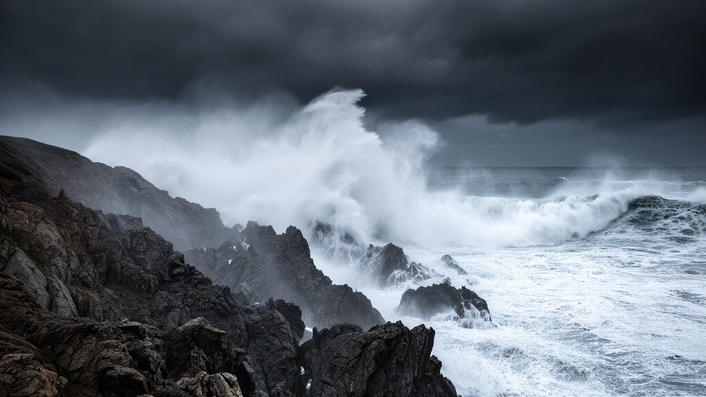
NASA scientists are tracking a rapidly intensifying El Niño in 2026 that shows satellite patterns comparable to the historic 1997-98 event. The development coincides with immediate, severe coastal impacts, including 31-foot waves hitting the Northern California coast, marking an urgent regional weather emergency. This weather system, currently being labeled a “Monster El Niño” by meteorological analysts, represents one of the most significant oceanic and atmospheric shifts of the decade.
Key Highlights
- Historic Comparison: Current satellite telemetry from NASA indicates the 2026 El Niño-Southern Oscillation (ENSO) is tracking parallel to the catastrophic 1997-98 event, previously considered the gold standard for intensity.
- Coastal Emergency: Northern California is currently facing a high-alert weather emergency, with confirmed wave heights reaching 31 feet, causing significant erosion and infrastructure damage.
- Atmospheric Instability: The rapid warming of Pacific surface temperatures is creating a cascade effect, leading to heightened regional instability and unpredictable storm surges along the West Coast.
- Scientific Monitoring: NASA is utilizing advanced satellite altimetry and sea-surface temperature sensors to monitor the event in real-time, providing crucial data to the National Weather Service.
The Meteorological Significance of the 2026 Mega-Event
For climate scientists, the 2026 El Niño is not merely a statistical anomaly but a potential shift in the historical baseline of Pacific weather patterns. When NASA monitors the Pacific Ocean, they are looking for specific indicators of the El Niño-Southern Oscillation (ENSO). These include a sustained warming of the central and eastern tropical Pacific waters. The data collected thus far in 2026 suggests that the heat content in the upper ocean is rising at a velocity that mirrors the early stages of the 1997 event, which resulted in billions of dollars of damage and reshaped the global weather narrative for years.
Satellite Telemetry and Predictive Modeling
The reliance on NASA’s satellite array is critical. Modern sensors provide high-resolution mapping of sea surface heights (SSH). When the ocean warms, it expands, and sea level rises. By comparing current SSH anomalies with historical data from 1997, researchers have identified a stark alignment. This alignment allows meteorologists to forecast the progression of the event with greater precision than was possible three decades ago. The predictive models currently being run by the National Weather Service (NWS) suggest that the atmospheric coupling—the mechanism by which the ocean and atmosphere interact to amplify weather patterns—is currently locked into a high-intensity phase.
The Northern California Coastal Crisis
While the El Niño is a global phenomenon, the immediate local impact is being felt acutely in Northern California. The report of 31-foot waves is a definitive sign of the severity. These massive swells are not just a danger to coastal navigation; they represent a significant threat to coastal infrastructure, including highways, breakwaters, and private property. Local authorities have issued emergency declarations, urging residents to stay clear of cliff edges and low-lying coastal roads. This is a “high-energy” sea state that erodes the shoreline with unusual speed, potentially causing irreversible damage to ecological zones and human settlements.
Broadening the Scope: Economic and Infrastructural Consequences
Beyond the immediate threat of wave damage, a “Monster” El Niño event of this magnitude carries profound economic weight. Understanding these ramifications is essential for stakeholders in agriculture, logistics, and energy sectors.
Impact on Regional Supply Chains
Coastal logistics hubs rely on stable sea conditions for loading and unloading operations. Persistent, high-energy wave events can shut down major ports for days or weeks at a time. The 1997 event taught the global economy that when Pacific transit is disrupted, the downstream effects on supply chains are immediate and costly. Corporations are currently reviewing their contingency plans for shipping delays along the West Coast, as port authorities remain on high alert for sustained storm activity.
Agricultural Shifts and Energy Consumption
El Niño events fundamentally alter rainfall patterns. While Northern California battles waves, the inland areas of the West Coast are preparing for potentially volatile shifts in precipitation. Farmers are recalibrating crop cycles, while energy producers are monitoring the impact on hydroelectric power generation, which is heavily dependent on consistent, manageable water cycles. A shift to extreme, concentrated rainfall—a hallmark of “Monster” events—can lead to localized flooding that overwhelms infrastructure built for more moderate climate regimes.
The Changing Frequency of Mega-Events
One of the most intense secondary angles being debated in the scientific community is whether climate change is increasing the frequency of these high-intensity El Niño events. If the 2026 event tracks fully into the 1997 territory, it will provide critical data for climate modelers attempting to determine if we are entering a new era of “Super El Niños.” Understanding whether these events are becoming the “new normal” is vital for long-term urban planning and federal disaster preparedness budgets.
FAQ: People Also Ask
1. How does the 2026 El Niño compare specifically to the 1997 event?
NASA scientists are observing similar sea-surface temperature anomalies and atmospheric coupling patterns. While it is too early to declare the final intensity, the rate of development and the scale of the Pacific warming currently mirror the 1997-98 event.
2. What should residents in coastal areas do during this weather emergency?
Local emergency services in Northern California are advising residents to avoid the shoreline, stay off coastal cliffs due to erosion risks, and follow all evacuation orders issued by the National Weather Service and local authorities.
3. Why do 31-foot waves occur during El Niño?
El Niño changes the jet stream and the track of Pacific storms. This often results in more frequent and intense storms directed toward the California coast. These storms generate massive wind-driven waves that pile up as they reach the shallow water of the coastline.
4. Is this El Niño considered a ‘Monster’ event by official classifications?
While ‘Monster’ is a colloquial term, the classification is used by observers and some media outlets to describe an ENSO event that reaches the upper tier of the Oceanic Niño Index (ONI), characterized by widespread, severe climatic disruptions.
5. How long is this 2026 El Niño expected to last?
Typically, El Niño events peak in the late autumn or early winter and can persist through the spring. Meteorologists are continuing to monitor the event, but current projections suggest the impacts could be felt for several months.