Forecasters have issued a formal Fire Weather Watch for Western Washington, citing the critical convergence of expected thunderstorm activity and exceptionally dry fuel conditions that threaten to exacerbate wildfire risks across the region. The alert, disseminated by the National Weather Service (NWS), highlights the heightened potential for lightning strikes to ignite new fire starts in areas where vegetation moisture levels have plummeted after a prolonged summer dry spell.
Key Highlights
- Immediate Alert: The NWS has activated a Fire Weather Watch due to incoming instability and projected convective thunderstorm activity.
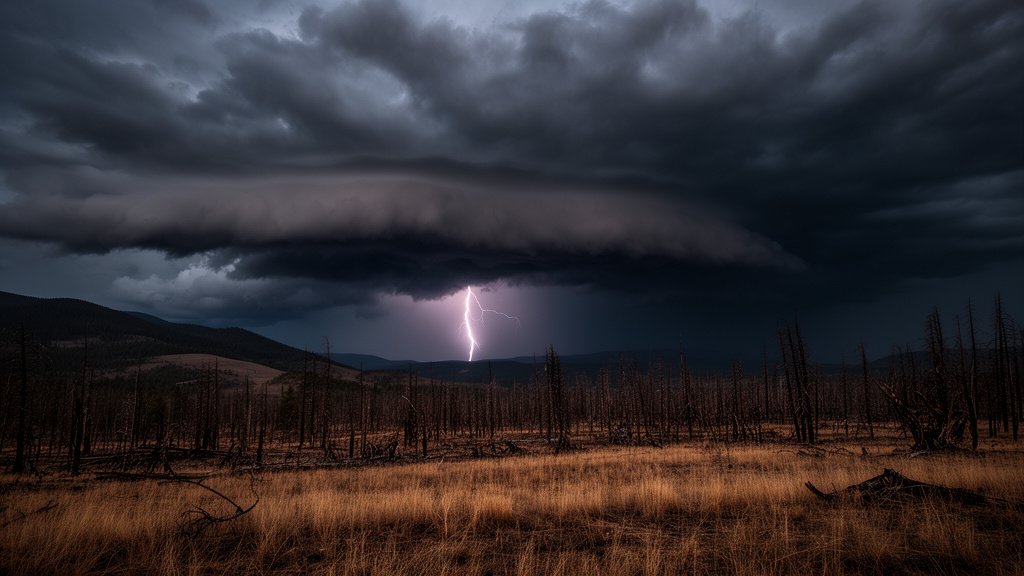
- Lightning Hazard: The primary concern is dry lightning, where strikes occur outside of significant precipitation, posing a severe ignition threat to dry timber and grasslands.
- Critical Conditions: Extremely low fuel moisture content in Western Washington forests has created a volatile landscape prone to rapid fire spread.
- Public Vigilance: Residents are advised to monitor local alerts, exercise extreme caution with outdoor activities, and prepare emergency kits in accordance with local safety guidelines.
Navigating the Volatile Convergence: What the New Fire Weather Watch Means for Western Washington
The Meteorological Setup: Instability and Convection
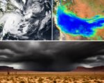
The current fire weather situation in Western Washington represents a complex meteorological phenomenon known as a “dry slot” interaction with incoming instability. Typically, Western Washington experiences moderate, temperate summers, but the recent meteorological data indicates a shifting pattern. The NWS and the Storm Prediction Center (SPC) have identified an upper-level disturbance moving through the region, characterized by steep lapse rates—a key ingredient for vertical atmospheric movement. When this instability interacts with the moisture-starved air mass currently sitting over the Cascade foothills and the I-5 corridor, it creates the ideal environment for high-based thunderstorms.
Unlike the heavy, soaking storms often seen in other parts of the United States, these Pacific Northwest storms are frequently “high-based.” This means that while lightning is produced, the cloud base is elevated, and much of the virga (precipitation falling from the cloud) evaporates before it strikes the ground. Consequently, the ground remains parched while lightning activity commences. This dynamic significantly elevates the risk of fire, as the primary source of moisture that would usually suppress a spark is absent.
Fuel Moisture and Landscape Vulnerability
The term “fuel moisture” is a critical metric for wildfire management. It refers to the water content of living and dead vegetation—from fine fuels like grasses and needles to heavy fuels like downed logs. After weeks of limited precipitation and sustained temperatures, the fuel moisture content in Western Washington has dropped below the 10th percentile in many monitoring zones. This indicates that the landscape is effectively primed for combustion. Even a small spark, such as that from a lightning strike or human negligence, can result in rapid fire spread.
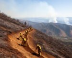
Land management agencies, including the Department of Natural Resources (DNR), have been closely monitoring these thresholds. The combination of sustained dryness and the upcoming thunderstorm activity creates a scenario where fire behavior can become extreme. Fire weather analysts point out that in such conditions, the rate of spread (ROS) for a fire can outpace containment efforts, even with aggressive aerial and ground suppression tactics.
Preparedness and Future Implications
As Western Washington faces this urgent threat, the broader conversation regarding climate resilience in the Pacific Northwest continues to evolve. Historical data from the last decade suggests that the frequency of these lightning-induced fire events is shifting. Traditionally, Western Washington was considered a temperate rainforest ecosystem, largely protected from the massive, multi-state fire events seen in California or Eastern Washington. However, changing climatic patterns are extending the fire season, making residents more vulnerable than they have been in previous decades.
For the general public, this means a shift in mindset is required. Preparedness in this context involves more than just monitoring the news; it requires active risk mitigation. This includes clearing defensible space around homes (removing flammable debris, trimming low-hanging branches), identifying evacuation routes, and strictly adhering to burn bans. The economic impact of such events is substantial, affecting timber industries, agriculture, and tourism. Furthermore, the smoke quality impacts on public health during these events remain a major area of concern for local municipalities.
Looking toward the future, the integration of better fire-predictive technology—such as high-resolution satellite monitoring and localized lightning detection networks—is vital. Experts suggest that as these “dry thunderstorm” events become more frequent, regional authorities will need to increase investment in rapid-response suppression units and community fire-smart programs to mitigate the potential for devastating losses in the wildland-urban interface.
FAQ: People Also Ask
1. What is the difference between a Fire Weather Watch and a Red Flag Warning?
A Fire Weather Watch indicates that critical fire weather conditions are possible in the next 12 to 72 hours. A Red Flag Warning is the next step up, indicating that critical conditions are either currently occurring or are imminent, usually requiring immediate action and high alertness.
2. Why are these thunderstorms considered ‘dry’?
Dry thunderstorms are storms that produce lightning and thunder but little to no rain at the surface. In the Pacific Northwest, this happens when the cloud base is very high, and the air below it is dry, causing the rain to evaporate before hitting the ground.
3. What steps should I take to protect my home during this watch?
You should ensure your gutters are clear of dry leaves, move wood piles away from your home, keep fire extinguishers ready, and have an emergency “go bag” prepared in case of sudden evacuations.
4. Is the entire state of Washington at risk?
While the Fire Weather Watch is specific to the regions identified by the NWS—typically Western Washington and the Cascade foothills for this specific event—Eastern Washington often faces different fire dynamics due to its drier, semi-arid climate. Always check the official NWS Seattle or NWS Spokane dashboards for your specific location.