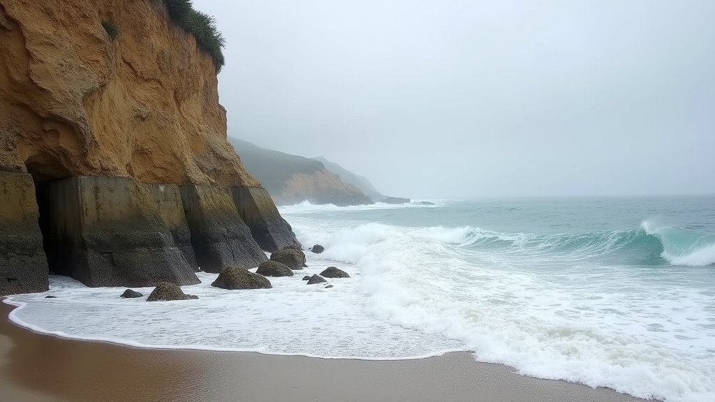
California’s sprawling coastline faces an imminent test of resilience as meteorologists and oceanographers track a ‘coastally trapped Kelvin wave’ surging northward along the Pacific seaboard. Fueled by a strengthening El Niño, this phenomenon is projected to push sea levels 6 to 13 inches higher than baseline projections by late September. This sudden anomaly is not merely a seasonal fluctuation; it represents a significant, compounding pressure on coastal infrastructure that is already grappling with chronic erosion and the effects of long-term climate change.
The Mechanics of the Kelvin Wave
To understand the threat, one must first grasp the mechanics of the Pacific Ocean during an El Niño event. A Kelvin wave is essentially a massive pulse of warm water that travels along the equator, effectively suppressing the thermocline—the transition layer between warmer surface water and cooler deep water. When this wave reaches the coast of the Americas, it does not dissipate; instead, it becomes ‘coastally trapped,’ turning north and south along the continental shelf.
As this pulse of warm, less-dense water moves up the California coast, it occupies more volume, resulting in an immediate and measurable rise in sea surface height. This is not a tide in the traditional sense, but a localized swelling of the ocean that lingers. By the time this wave reaches the California coastline, the accumulation of warm water acts as a hydraulic jack, forcing sea levels to climb significantly above predicted tidal charts. For coastal communities, this means that even moderate tides will reach significantly further inland than usual, often bypassing existing flood barriers.
Infrastructure Vulnerability: A State on the Edge
California’s coastal infrastructure—ranging from the iconic Highway 1 to the precarious rail lines in San Clemente—exists in a delicate equilibrium with the Pacific. The projected 6-13 inch rise acts as a force multiplier for erosion. When waves break at a higher elevation, they strike bluffs and seawalls with greater force and at different angles than they were designed to withstand.
Engineers and local municipalities are particularly concerned about ‘nuisance flooding’ in low-lying areas. During high tides, seawater may inundate storm drains, causing water to backflow into streets. This was a significant issue during the 1997-98 and 2015-16 El Niño events, where similar oceanic conditions led to millions of dollars in property damage. Furthermore, the saturated ground along coastal cliffs increases the likelihood of slope instability and landslides. As the Kelvin wave passes, the combination of elevated sea levels and storm surges can undermine the structural integrity of homes and transit corridors built directly on the littoral edge.
Historical Context and Comparative Analysis
It is instructive to look at historical data to gauge the severity of the current situation. While every El Niño cycle exhibits unique characteristics, the behavior of these oceanic waves is a consistent signature. In the ‘Godzilla’ El Niño of 1997-98, sea levels off the coast of California were observed to rise significantly, resulting in catastrophic loss of beach width and severe property damage across Southern California.
Modern climate modeling allows us to predict the trajectory of these waves with greater precision than in previous decades. However, the baseline sea level has risen globally due to climate change, meaning that today’s Kelvin wave is riding atop a higher starting point than its predecessors. This ‘stacking effect’ is what differentiates the current warning from historical anomalies. Where a 6-inch rise in 1997 might have been manageable, that same rise today pushes water into zones that have since become more developed and densely populated, increasing the economic and logistical stakes.
Mitigation, Preparedness, and Future Outlook
How do local authorities and private citizens prepare for a phenomenon that is invisible to the naked eye until it strikes? The strategy is two-fold: immediate tactical response and long-term adaptation. In the short term, municipal agencies are focusing on clearing drainage systems to prevent urban flooding and monitoring cliffs for signs of accelerated erosion. Residents in high-risk areas are advised to review flood insurance policies and secure loose property that could be swept away by high-tide intrusions.
Looking toward the future, this event serves as a microcosm of the challenges California will face as sea levels continue to trend upward. The discussion is shifting from merely ‘defending the coast’ to ‘managed retreat’ or ‘adaptive living.’ The recurring nature of these El Niño-driven events is forcing city planners to reconsider the viability of fixed defenses—like concrete seawalls—which can sometimes exacerbate erosion in adjacent areas by reflecting wave energy elsewhere.
As late September approaches, the eyes of the meteorological community will remain fixed on tide gauges from San Diego to Crescent City. While a 6-13 inch rise may sound incremental, in the context of oceanography, it is a massive transfer of energy and volume. The Pacific is demonstrating, once again, its capacity to reshape the state’s landscape, reminding California that its relationship with the ocean is a dynamic, and often perilous, negotiation.