A magnitude 2.0 earthquake occurred near The Geysers, California, early Sunday morning, according to the latest data from the United States Geological Survey (USGS). The tremor, which struck at approximately 1:07 a.m. local time on April 19, 2026, was centered roughly one mile east-northeast of the well-known geothermal field. This event is the latest in a recurring pattern of seismic activity in Sonoma County, an area globally recognized for its significant geothermal energy production and associated micro-seismicity.
Key Highlights
- Event Details: A magnitude 2.0 earthquake was recorded at 1:07 a.m. on April 19, 2026.
- Location: The epicenter was located approximately one mile east-northeast of The Geysers, CA.
- Depth: Seismologists measured the event at a very shallow depth of approximately 0.13 kilometers (0.08 miles).
- Seismic Context: The Geysers is the world’s largest geothermal field, and small earthquakes in this region are frequently associated with industrial geothermal operations rather than tectonic movement alone.
Understanding Seismic Activity at The Geysers
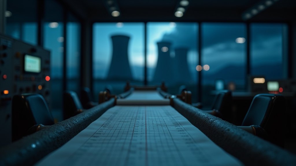
The Geysers, a sprawling geothermal field located in the Mayacamas Mountains of California, is an outlier in the seismological world. While most of California’s earthquake risks are tied to major fault lines—such as the San Andreas or the Hayward faults—the seismic signature of The Geysers is primarily defined by its unique status as an industrial powerhouse. When residents or automated systems report tremors in this region, the context often differs significantly from that of a standard tectonic event.
The Mechanics of Induced Seismicity
Induced seismicity is a phenomenon where human activity, rather than natural tectonic shifting, triggers earthquakes. At The Geysers, this is inextricably linked to geothermal energy extraction. To generate electricity, companies pump water into the hot rock formations deep beneath the surface. This water absorbs heat, turns to steam, and is then piped back up to drive electricity-generating turbines.
This process of injecting fluid into the crust changes the pore pressure within the rock. When this pressure increases, it can lubricate existing faults, causing them to slip slightly and release energy in the form of a tremor. These events, typically ranging from magnitude 1.0 to 3.0, are rarely powerful enough to cause structural damage but are frequently felt by local residents due to their extreme shallowness. The depth of the Sunday morning event—just 0.13 kilometers—is a classic indicator of an industry-related tremor rather than a deep tectonic slip.
Monitoring and Data Collection
The U.S. Geological Survey (USGS) and local partners maintain an extensive array of seismic monitors throughout the North Bay region to distinguish between these industrial tremors and natural earthquakes. Accurate monitoring is crucial not only for public safety but also for the operational oversight of the geothermal plants themselves.
By tracking the frequency, depth, and magnitude of these micro-quakes, geophysicists can create models that help operators manage the pressure of fluid injection. The goal is to maximize energy output while minimizing the likelihood of triggering larger events that could potentially disrupt operations or concern the nearby population centers. This real-time data flow is why events at The Geysers are often logged and analyzed with such specificity and speed.
Contextualizing Magnitude 2.0
To the average observer, any mention of an earthquake in California can be alarming. However, in the scale of geophysics, a magnitude 2.0 event sits at the very low end of the spectrum. According to the USGS, approximately 500,000 earthquakes of this magnitude or smaller occur globally every year. They are generally below the threshold of human perception unless the individual is situated very close to the epicenter or in an extremely quiet environment.
For residents in Sonoma and Lake Counties, who are accustomed to the seismic reality of Northern California, a 2.0 magnitude tremor is often a non-event. Nonetheless, the USGS maintains an open “Did You Feel It?” reporting system for these events. This crowd-sourced data is essential for scientists to verify the shaking intensity (Mercalli scale) against the instrumental data, ensuring that the ground-motion models for the region remain accurate and updated.
Geothermal Energy’s Role in Modern Power
While the seismic activity may be a point of curiosity or slight inconvenience, it is important to remember the purpose of The Geysers. As one of the world’s most productive geothermal facilities, it provides a consistent, carbon-free energy source for millions of Californians. The industry’s ability to balance this massive energy output with the geological realities of the region is a subject of ongoing engineering study. Innovations in drilling, water management, and seismology continue to evolve, allowing facilities to operate with greater efficiency while mitigating the frequency of felt tremors.
Future predictions for the region suggest that as long as geothermal extraction continues, micro-seismicity will remain a permanent feature of the local landscape. The USGS does not currently issue warnings for 2.0 magnitude events, as they pose no threat to the region’s infrastructure, including the power plants themselves. The primary focus for local authorities remains earthquake preparedness for larger, tectonic-based events, ensuring that residents are equipped with the knowledge to react if a larger, more significant tremor were to strike the region.
FAQ: People Also Ask
1. Are magnitude 2.0 earthquakes dangerous?
No. A magnitude 2.0 earthquake is very minor and rarely causes damage to buildings or infrastructure. They are often felt only by people who are resting or are in quiet, stationary environments near the epicenter.
2. Why are there so many earthquakes near The Geysers?
The high frequency of small earthquakes at The Geysers is largely due to industrial activity. The injection of fluids into the hot, fractured rock for geothermal energy production changes the subsurface pressure, which can trigger small, localized seismic events.
3. Is there a difference between a tectonic earthquake and an industrial one?
Yes. Tectonic earthquakes are caused by the movement of massive crustal plates. Industrial or “induced” earthquakes are triggered by human activities, such as geothermal injection, fluid disposal, or mining, which alter the stress on local fault lines.
4. What should I do if I feel a minor tremor?
Even for minor tremors, the standard advice is to practice “Drop, Cover, and Hold On.” While a 2.0 magnitude event is harmless, practicing these safety protocols ensures you are prepared in the event of a larger, more significant earthquake.