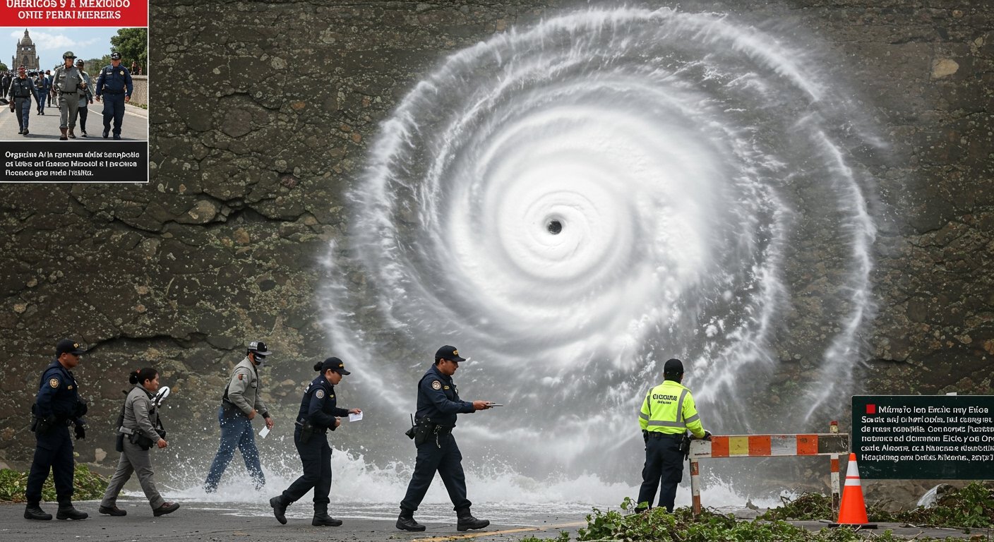
MEXICO CITY – Hurricane Erick, which slammed into Mexico’s Pacific coast early on June 19, 2025, has unleashed significant destruction and caused widespread travel disruptions, particularly impacting vital infrastructure and popular tourist destinations across several states. The storm made landfall near Punta Maldonado in western Oaxaca as a powerful Category 3 hurricane, packing sustained winds that peaked at 125 mph (200 km/h) near its core.
Storm’s Evolution and Force
Erick’s arrival was anticipated with concern; it had been forecast as a “major hurricane” and intensified to a formidable Category 4 storm over warm Pacific waters before weakening slightly just prior to making landfall. Despite this minor reduction in intensity, its impact was severe. The US National Hurricane Centre (NHC) had issued stark warnings of “life-threatening flooding and mudslides,” which have tragically materialized in affected regions.
While Hurricane Erick has since been downgraded to a tropical storm, its effects are far from over. It continues to generate severe, sustained travel disruptions and poses ongoing risks due to torrential rainfall.
Extensive Coastal Impact and Infrastructure Damage
The path of disruption spans a wide swath of Mexico’s Pacific coastline, affecting areas in the states of Guerrero, Chiapas, Michoacán, Colima, and Jalisco. This includes damage and access issues in well-known resort areas such as Puerto Escondido, Huatulco, and Acapulco, which are major hubs for tourism and local commerce.
Initial reports from authorities paint a grim picture of the immediate consequences. The torrential rains and powerful winds have led to significant infrastructure damage, including landslides blocking critical transportation routes, blocked highways isolating communities, numerous downed power lines causing widespread outages, and extensive flooding in low-lying and urban areas.
Furthermore, coastal conditions remain hazardous even as the storm moves inland or weakens over land. Reports indicate the presence of dangerous rogue waves and deadly rip currents along the affected coastlines, posing a serious threat to anyone near the water.
Torrential Rains and Ongoing Hazards
One of the most persistent threats from Erick remains the potential for further heavy rainfall. Forecasters are predicting that some areas, particularly in Oaxaca and Guerrero, could see cumulative rainfall totals reaching up to 16 inches. This level of precipitation on already saturated ground significantly increases the risk of additional landslides, mudslides, and prolonged flooding, complicating relief efforts and hindering recovery.
Travel Advisories and Official Responses
In response to the unfolding situation, governmental bodies and embassies have issued urgent warnings and advisories to travelers and residents. The US Embassy in Mexico has strongly advised U.S. citizens in or planning to travel to affected areas to contact airlines for updates on flight status and to avoid unnecessary movement. This guidance is aimed at minimizing risk and preventing individuals from becoming stranded or endangered by hazardous conditions.
The US State Department and the Canadian Government have also issued urgent advisories reflecting the severity of the situation. The Canadian Government, in particular, has warned its citizens against non-essential travel to coastal areas from Bahías de Huatulco westward, underscoring the significant dangers present along the coastline impacted by Erick.
Outlook and Call for Caution
While Erick has weakened from its peak intensity, the legacy of its passage – saturated ground, damaged infrastructure, and ongoing rain threats – ensures that the challenges for the affected communities will persist for some time. Authorities continue to monitor the situation closely and urge residents and potential travelers to heed all official warnings, follow evacuation orders if issued, and exercise extreme caution. The focus remains on ensuring safety, assessing the full extent of the damage, and beginning the long process of recovery in the wake of this powerful storm.